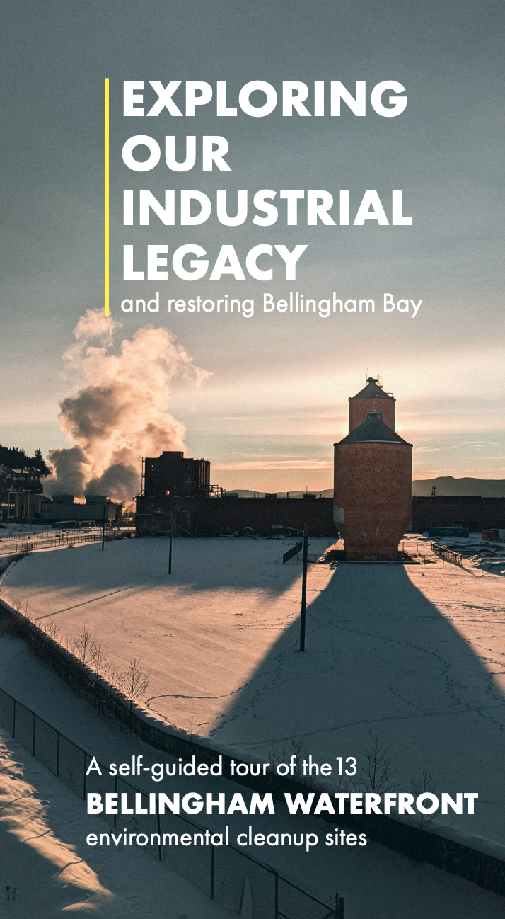
If you’ve spent any time walking along the Bellingham Bay waterfront, you’ve seen that it’s a motley assortment of empty space, old industrial buildings, business centers and more. The industrial history of the Bay has left it with legacy pollution that needs cleaning up — but also with great potential for the community and wildlife that call the Bay home.
Check out our Bellingham Bay cleanup maps!
It’s tough to grasp the history, process, and possible future for the waterfront just by looking at it from Boulevard Park or downtown. That’s why we made two maps you can use to learn about what’s happening on the waterfront, which contains twelve state cleanup sites (called Model Toxics Control Act sites — MTCA or “mott-cuh”).
Here is a Google Map that you can use as a self-guided tour, complete with historic photos and videos of experts talking about each site — what pollutants are/were, how the cleanup is going, timelines, and how you can get involved!
We also created a PDF map with info about the cleanup process at each of the 12 sites. Learn more about how Washington State cleans up its contaminated sites. We offer tours of two cleanup sites on the Blaine waterfront as well (not included on these maps yet).


Bellingham’s waterfront gives our community a unique opportunity to make something positive from former industrial areas. As we’ve seen from the completed cleanup at Waypoint Park in 2018 — complete with pocket beaches for young salmon, business space, and a playground — it’s possible.
Want to hear about future tours and ways to give input on Bellingham Bay’s future? Make sure you’re getting email and text updates from RE Sources!